
2026 / CASTLEMAINE, VIC
PUBLIC REALM REDEVELOPMENT
VISUALISATION + ANIMATION
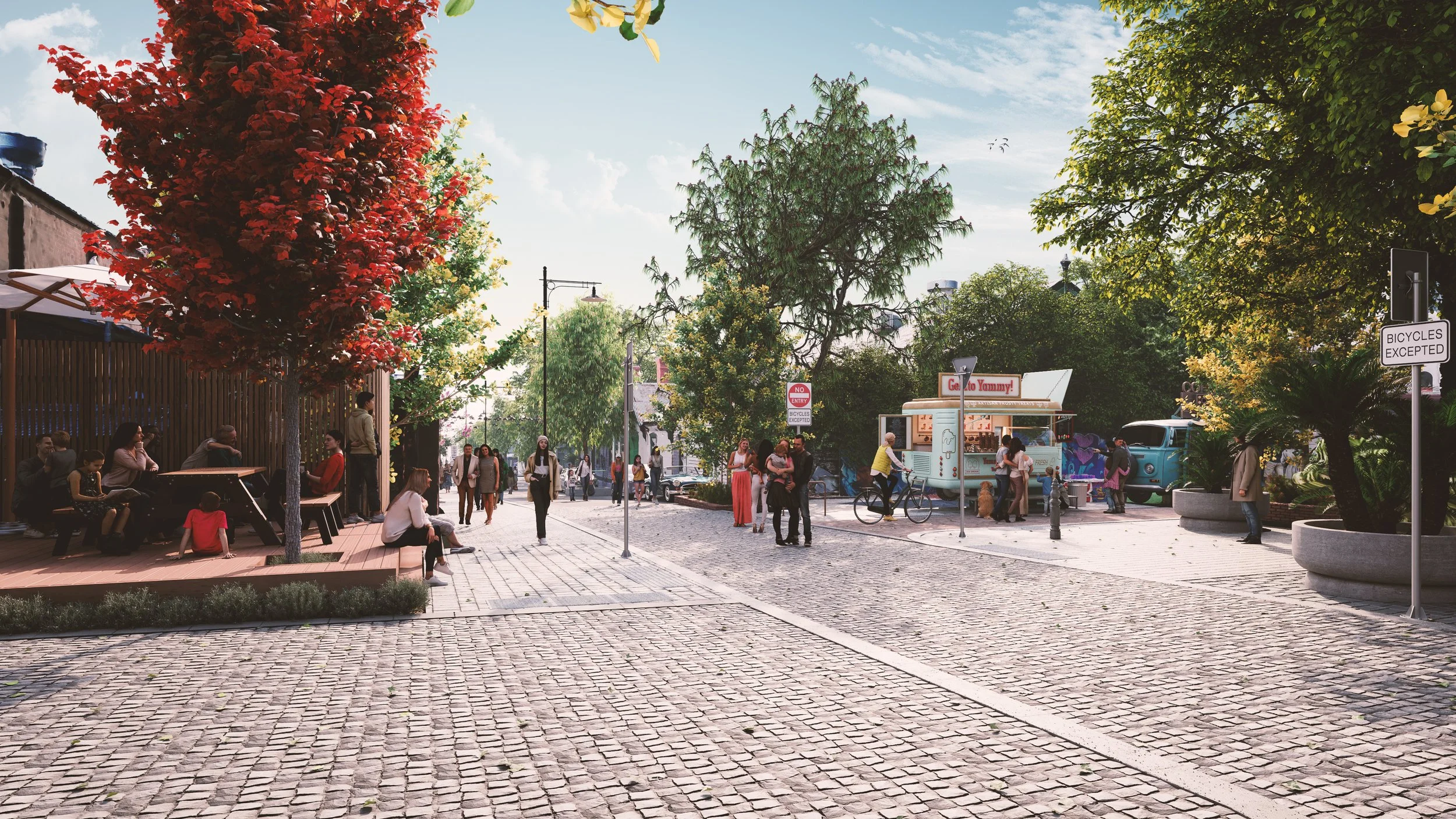
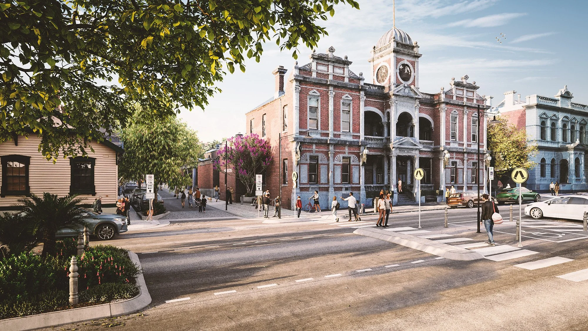
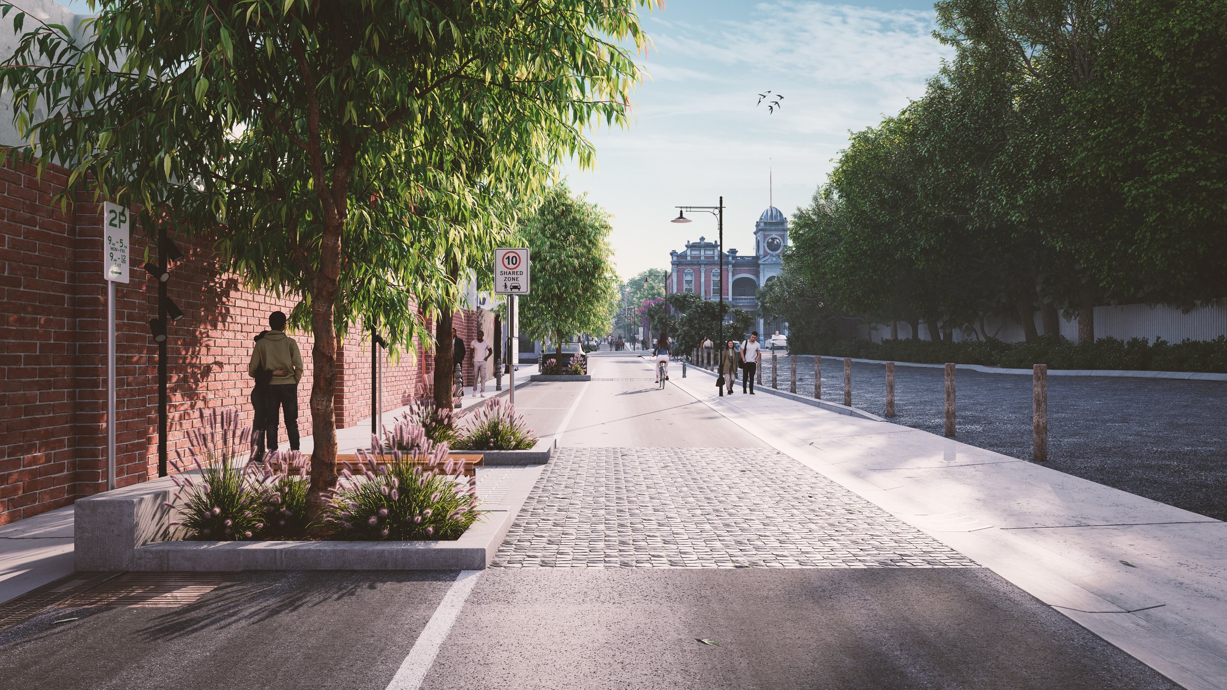
Frederick Street, Castlemaine
Visualisation of a proposed streetscape redevelopment within a photogrammetrically captured model of the existing town centre.
Street design: Tract
Existing-site capture: Taylors
Project
Taylors worked with Mount Alexander Shire Council to visualise the proposed redevelopment of Frederick Street in Castlemaine. The existing precinct was drone captured and reconstructed as a photogrammetric model, providing a detailed spatial base for the visualisation.
Role
I interpreted the proposed design from supplied CAD and PDF documentation, rebuilt the new streetscape in 3D and integrated it into the captured existing environment.
I produced the final still imagery and animation used through the council review process.
Detail
The visualisation required a fairly high level of site-specific detail, including nominated tree and planting species, paving and street furniture, road markings and accurate regulatory signage such as parking restrictions.
dwad wad awd awd awd awdwad
Challenge
The main challenge was making the proposed design sit convincingly within an imperfect real-world scan while retaining the character of the existing streetscape. New geometry, planting and public-realm elements had to transition cleanly into the photogrammetric surroundings without the two environments feeling disconnected.
A series of still images and an animation were produced to communicate the proposed streetscape works and support review with Council.
Animation
CLIENT
Mount Alexander Shire Council
DESIGN
TractSERVICES
3D Visualisation
Animation
Reality Capture IntegrationTOOLS
3ds Max
Corona
Unreal Engine 5
Photogrammetry / Reality Model
Premiere Pro